
Return to article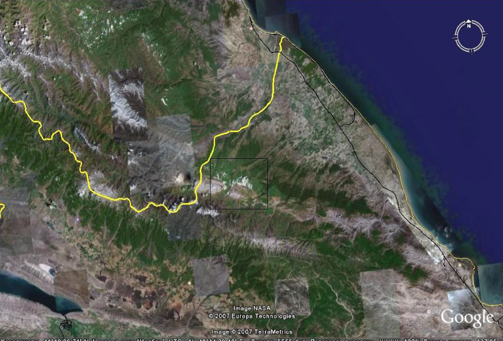
ЭКОЛОГИЧЕСКИЙ МОНИТОРИНГ ПАРАМЕТРОВ ПЛОДОРОДИЯ ПОЧВ НЕКОТОРЫХ ВНУТРИБАССЕЙНОВЫХ ТЕРРИТОРИЙ ШАХДАГСКОГО НАЦИОНАЛЬНОГО ПАРКА
The image obtained using the Google Earth system is a satellite shot of the explored area inside the black rectangle