Вернуться к статье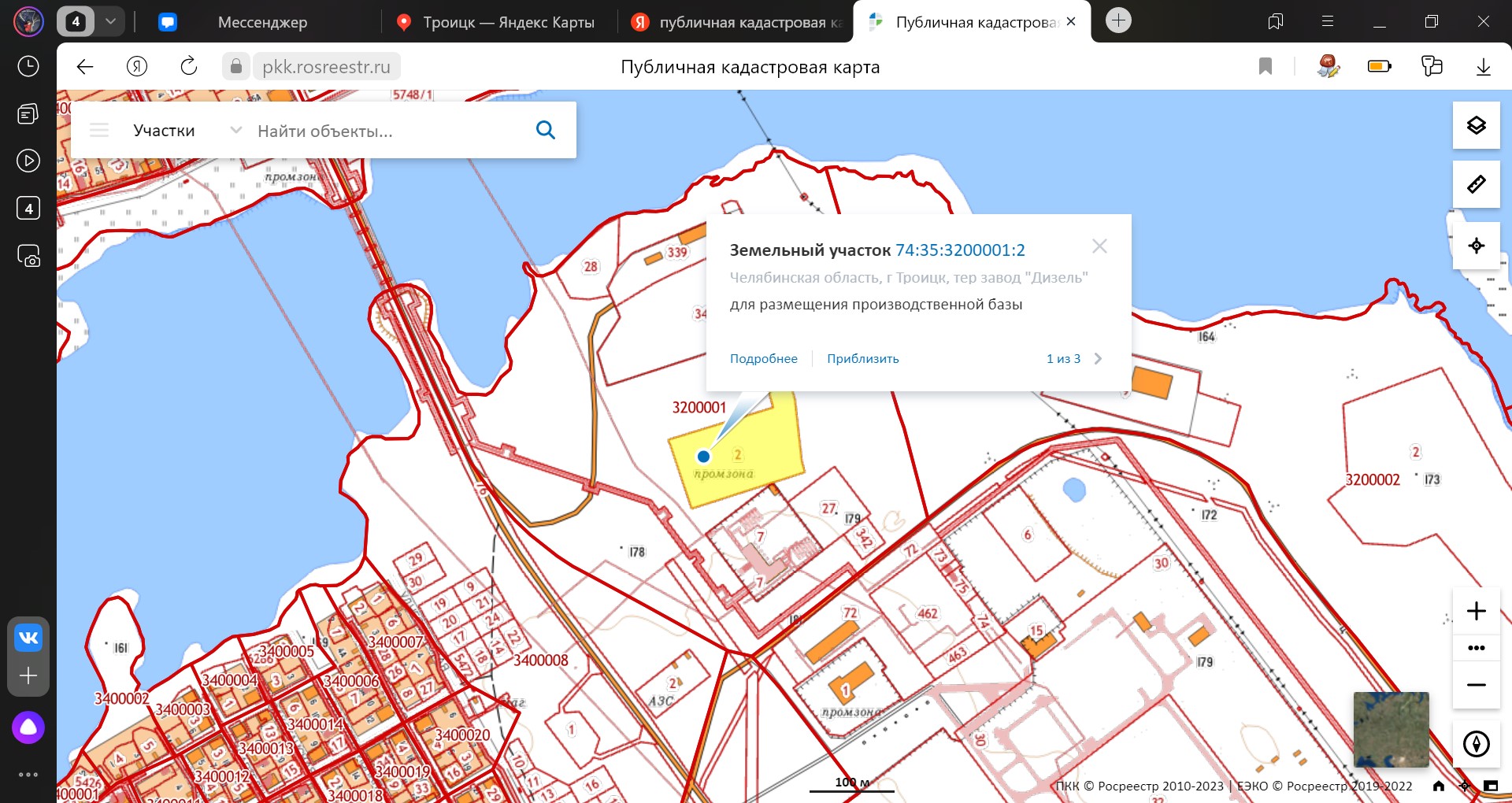
Identification of unauthorized landfills using panoramic image analysis: research results
Figure 1 - Publicly-accessible cadastral map with a highlighted land plot where an illegal waste storage is located
Figure 1 - Publicly-accessible cadastral map with a highlighted land plot where an illegal waste storage is located