Вернуться к статье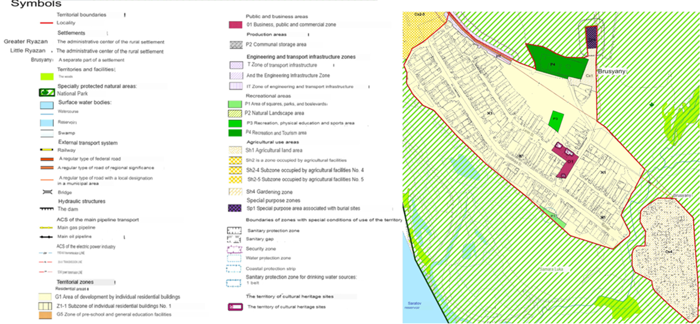
Географическое исследование состояния и использования земель объектами гражданской недвижимости на федеральных охраняемых территориях
Figure 1 - The map of the urban zoning of the village of Brusyany is presented within the framework of the current rules of land use and development, map scale 1:5000
source [30]